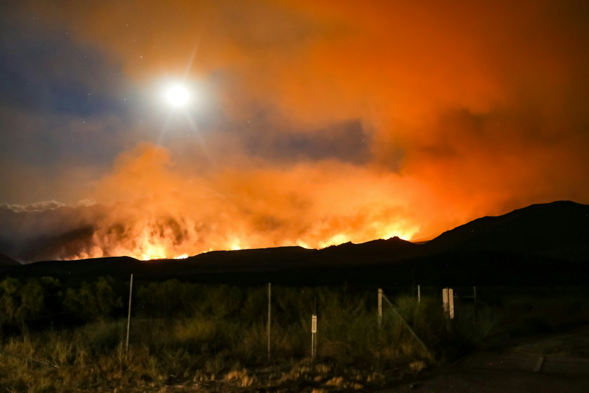
A better way to track smoke from wildfires
Get insight into where that smokey haze and smell are coming from with this innovative web site.

NOAA’s National Centers for Environmental Prediction have released a newly operational model that forecasts not only the spread and intensity of wildfire smoke in high resolution, but also models the impact of smoke on weather. Called the High Resolution Rapid Refresh—Smoke (HRRR—Smoke), the model provides hourly weather and smoke forecasts using real-time satellite data, weather observations, vegetation maps, and a metric called fire radiative power (FRP) which measures the heat released by fires.
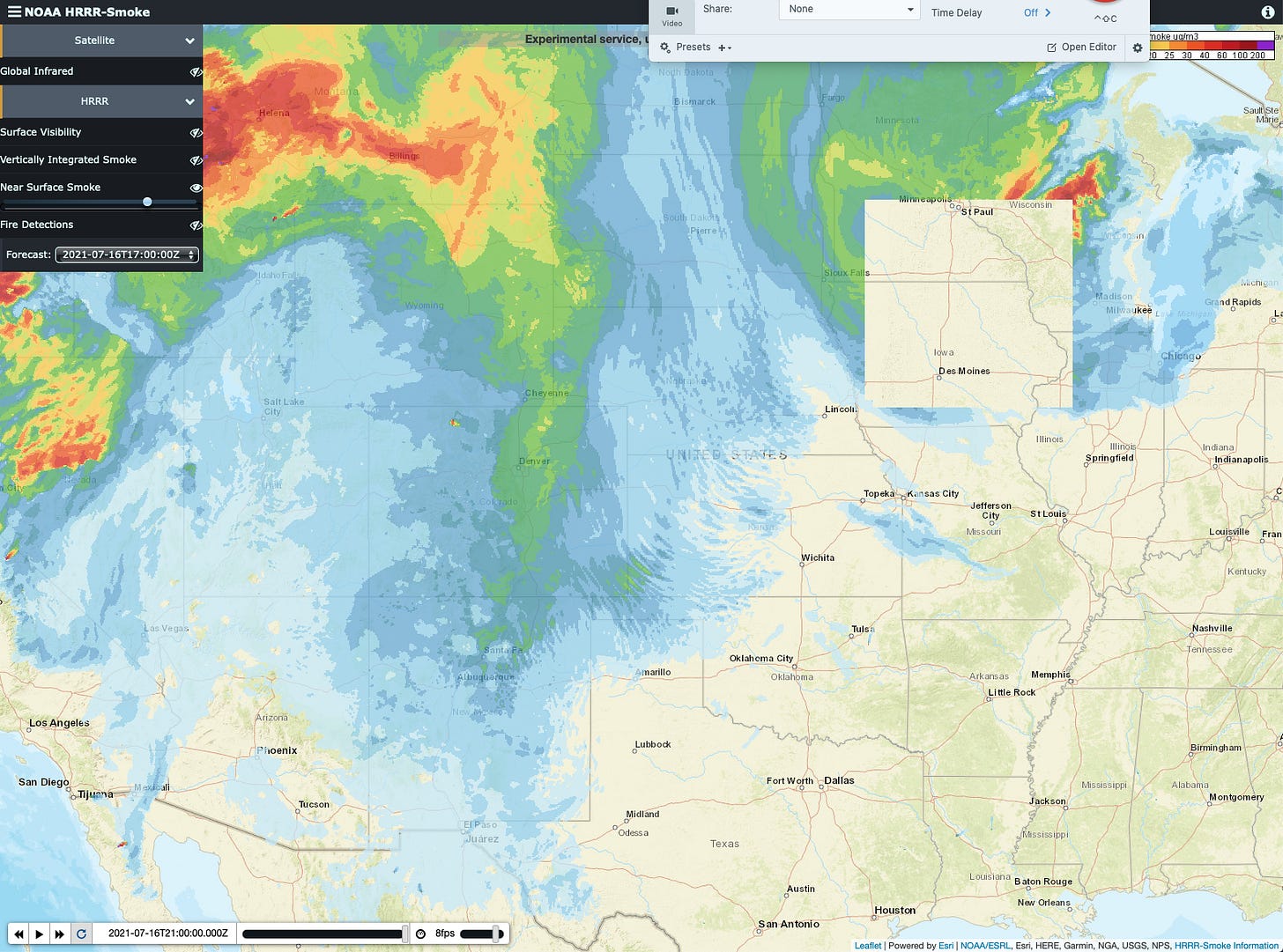
In an article in the June 2021 issue of the Bulletin of the American Meteorological Society, the model is described as providing 48-hour advance forecast of the smoke amount, plume height, and movement, as well as the smoke’s affect on wind, temperature, and visibility. HRRR—Smoke’s spacial resolution is 2 miles by 2 miles, or about four times greater resolution than other models. The model currently covers only the US, a part of Canada, and northern Mexico.
HRRR—Smoke can be accessed here. A Quick Start guide is also available.